Tuesday, May 24, 2011

What a Boring Day!

The plains of Wyoming are hypnotizing and incredibly boring. The day was overcast and the thermometer indicated 66F. The winds were calm and I am glad for that. In Wyoming, they close entire highways for high winds. I was told mainly in the winter but with this foul weather you never know.
I decided to visit Mount Rushmore in South Dakota and half way down the road I was about to change my mind. The plains are endless and the monotony of the yellow grass was outing me to sleep.
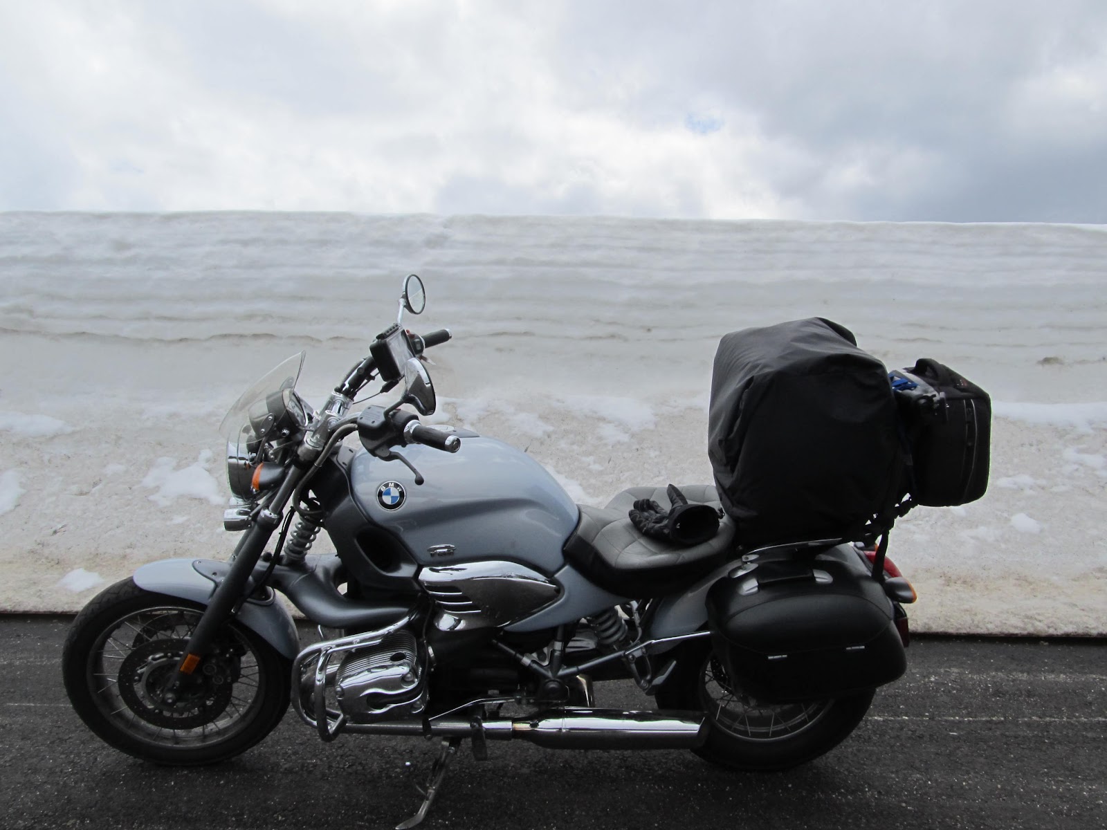
I was tired from last night. I went to bed at 1:00 AM from doing my laundry and washing my riding gear. My riding jacket and pants were filthy with bugs I picked in California and Oregon.

At 9:34 AM, I left Casper, WY and took 25 E towards Keystone, SD. An hour and a half in the road a little rain caught me. I stopped under a bridge to put on my rain gear but the rain didn't last long. I stopped in Manville, WY for gas. It was 11:26 AM. Three hours into the ride, I started to see pine trees and rolling hills. Now things started to change and I was getting into the Black Hills. At 1:42 PM I was in Custer, SD 22 miles away from Mount Rushmore.

As I climbed Mount Rushmore, the weather started to get ugly and shortly after I got in the park it started to rain. So for $11 dollars, I got to see the sculptures which look rather small and take a few pics.

The Black Hills are amazing. It was the highlight of the day. The only bad thing is that big dark clouds started to gather on top of Rushmore and the temperature dropped to 55F. I was cold but I knew it was because I was hungry so in Custer I picked up one of my new to my diet,Corn Dog and Chocolate Milk. I didn't know corn dogs were so geewd!

Tomorrow, I am heading for Sioux Falls, SD and I am ready to go home. I am in my going home mood. I think I was in that mood since early in the day.
Today is the first day when I really feel I want to go home. I am already 20 days on the road and this packing and unpacking thing is getting old.

TOMORROW MORE FLAT LAND!!!

Yeah, It's the South Dakota welcome sign


Today's exact route to Mt. Rushmore.


View Larger Map

My general location in the country


View Larger Map

Monday, May 23, 2011

A day in Yellowstone and Grand Teton

This is my general location in the USA. The smaller map is the exact route I took during the day.


View Larger Map
Exact route West Yellowstone,MT - Casper,WY


View Larger Map


Sunday May 22, I left the hotel at West Yellowstone knowing that it was going to be a little colder than before but I was not expecting to the day to be so cold and with so much snow. Not on the road but on the ground.
I liked Grand Teton much more that Yellowstone. Teton is more dramatic and with better views
I went straight into the park at 8:48 AM. $20 clams to get in for motorcycles $25 for cars and the ticket last for a week and Grand Teton is covered too.
I finished both parks at 2:00 PM, made a gas stop in Moran, WY and continued to Casper, WY.  following RT 26 to Shoshoni and the 20 E to Casper.
When I exited the park I started climbing the Rocky through a mountain pass that put me at 9,600 feet of altitude. It was incredible the amount of snow on the ground.
Going down the mountain I got hit with my first speeding ticket in the town of Debois. The Sheriff was easy on me. $100 dollars ticket for doing 40 on 35 in town and not for doing 73 in 60 outside town. I was expecting some points too but nothing.
The scenery changed from woods to grass and plains. The kind of flat plains I don't like.
I am now in Casper, WY hoping to make it to Mount Rushmore tomorrow. I will try to change my oil as well I already put 3788 miles since the last change of oil in Oklahoma City

Yellowstone plains

I thought this was going to be all the snow I was going to see. But what a surprise when I got to into the Teton


Thermal pool in Yellowstone.

Right thumb on lake Yellowstone. It was still frozen for the most part.

The Tetons in background

Look at that wall of snow. It was taller than me and probably 7.5 feet easy.


There was like 8 feet of snow here. I was at 8.800 feet altitude. The highest was at 9,600 feet

This was weird, on one side of the street you see this desert like view. On the other side it was normal grass and trees.

On my way to Casper,WY. I then again enter the plains
Yellowstone Park

The Grand Teton


Waiting for my ticket to be written in Dubois, WY

Following the Oregon Trail

On top of Castle Rock, Idaho. The road in back, and the one I road, is part of the Oregon trail.
Saturday May 21, I left Mountain Home, Idaho for the cooler air of Yellowstone. The map indicated RT 20E then 33E and then 20E again :)
As I left the hotel, I started climbing the mountain following the Oregon trail a 2,000-mile (3,200 km) historic east-west wagon route that connected the Missouri River to valleys in Oregon and locations in between.
These mountain passes are absolutely beautiful. All along route 20E, I was under constant watch of the snowed covered mountains while I ripped the tar below at 80 miles per hour on the long, lonely flats.
The temperature was a cool 50 degrees. It got lower as I climb higher altitudes. I would say higher 40's. The winds were calm. lots of sun on my face and the potatoes and onions carpeted the valleys to my left and right. I made a quick stop at the Craters of the Moon national monument.I made a quick stop at the Craters of the Moon national monument. I checked the extinc volcano and continued my journey East to Yellowstone.

As I passed Ashton, Idaho I entered Targhee National Forest. The temperature drop considerably and the forest got thicker. The smell of pine trees inside my helmet. Soon I would be in Yellowstone.
Craters of the Moon national monument

The view from my window. Can you believe this was a Super 8 motel?

The good thing about this ride is that I was always with the mountains on my side.

I got the official photo entering Montana


Of course, Montana is on the list too. I was 10 miles from Yellowstone

Exact route of the day:

View Larger Map


View of the Rocky Mountains


I made a quick stop at Craters of the Moon National Monument. It used to be an old volcano that broke its caldera.

Part of the lava flow from the collapse

15 miles to West Yellowstone, the mighty Rocky in the background. It was very cold about 45 degrees fortunately I was almost there

My noble steed C, I have to give it some camera time:)

This was dinner for the day. I was not very happy with the price $23 clams for the steak. Then again this is Yellowstone. The beer was good

There she front and centre. A picture of the restaurant I visited and of the town West Yellowstone


Saturday, May 21, 2011

I almost ran out of gasoline

It was a chilly morning as always 51 F according to the news. I left Alturas, CA at 8:45 AM on RT 395 North. I filled my tank and headed towards Boise, Idaho.The air was clear and the road interesting. Lost of trees and state forest around me.
Everything was fine until I got to Lake View, Oregon. I was enjoying the ride as the road takes you around Lake Goose, a weird alkaline lake with beautiful views.
The thing is that I did not notice that the next gas station was going to be 111 miles away. Hopefully, I had my tank full and for the next 163 miles I was going to be crossing through some scary desert wondering when I was going to run out of gas.
At the end, where RT 395 intersects 20, I found a tiny little town of 100 people called Riley. I finally saw the light. I filled my tank again when I was 8 miles into my gas reserve. The next town was Burns 21 miles away. I don't think I was going to be able to do it if I didn't find Riley.

I followed 20 until I found I 84 to take it express to Mountain Home, Idaho passing by Boise. Tomorrow, I am hoping to be in Yellow Stone and take a look at Old Faithful.

Beautiful building from the 1700's in Alturas, CA

395N still in California. Altitude 4,000 feet beautiful forest around me

Lake Goose, an alkaline lake between California and Oregon. Altitude 4,500 feet


Official photo entering to Oregon. I could not take one entering Idaho.

Lake Goose


And here boys is what I saw for 111 miles. I thought I was going to run out of gas. It was so disappointing to climb up a hill and then see something similar to this picture again for miles.

Sage brushes left and right. I was almost peeing on my pants. My head planning what was I going to do if I run out of gas. Pretty intimidating!!!

In Oregon, I started to go down hill towards Idaho.

Temperatures started to climb again to 75 F but felt comfortable.

Along canyons and following the Malheur River (a tributary of the Snake River).

Snake River and the Snake Valley. Lot's of potatoes and onions here. I was already in the Idaho side.

Today's route:


View Larger Map

Map of my general location in the country.


View Larger Map